
Neighboring Groups
Maybe you want to get involved with the SCA, but just do not live close enough to Lochmere. Here is a link to a map of the Known World and links to our immediate neighbors.
Maryland SCA Heraldic Map

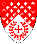
The Barony of Highland Foorde
The Barony of Highland Foorde is comprised of the lands known mundanely as Allegany, Frederick, Garrett, and Washington counties.
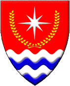
The Barony of Bright Hills

The Barony of Bright Hills is comprised of the lands known mundanely as Baltimore City and County along with Carrol, Cecil, and Harford Counties.
The Shire of Roxbury Mill

The Shire of Roxbury Mill is comprised of the land mundanely known as Montgomery County.
The Shire of Spiaggia Levantina
The Shire of Spiaggia Levantina is comprised of the land mundanely known as Maryland’s Eastern Shore.
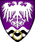
The Barony of Storvik
The Barony of Storvik is comprised of the lands mundanely known as Prince George’s County, save the city of Laurel, and the District of Columbia as well as a portion of Montgomery County.
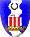
The Barony of Dun Carraig
The Barony of Dun Carraig is comprised of the lands mundanely known as Calvert, Charles, and St. Mary’s Counties.
